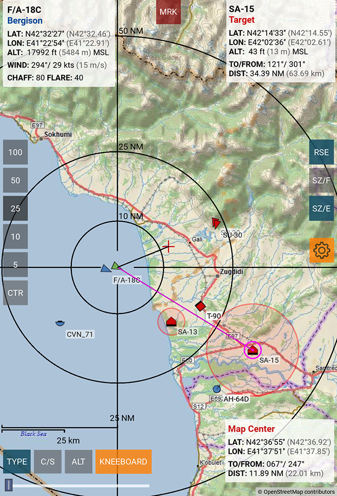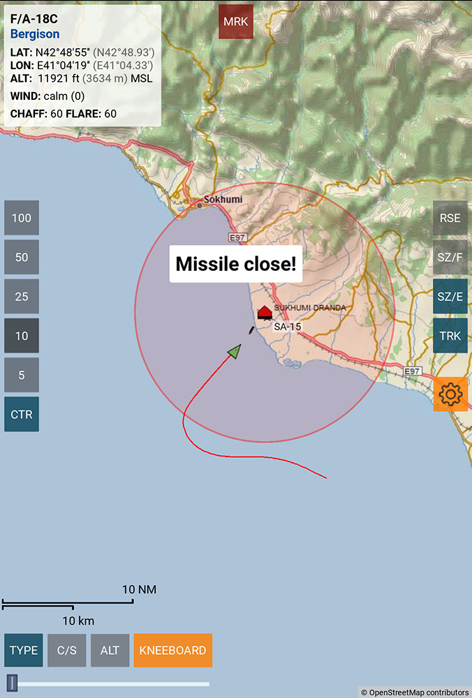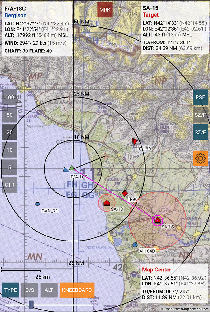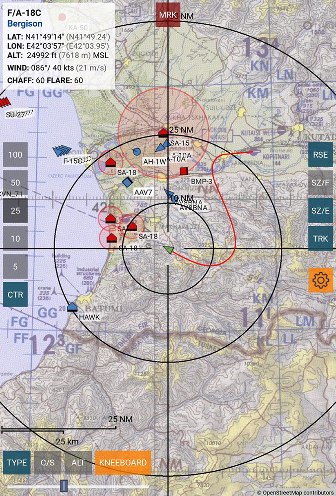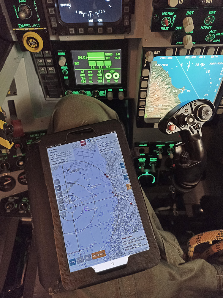
DCS MovingMap displays a moveable and scalable map along with the players own position and the position and information of other units in DCS World.
It follows mission view options set by the mission creator or the multiplayer server host, so only units also visible on the F10 map are shown.
The Windows version is free and compatible with all DCS theaters/maps.
DCS MovingMap for Android is available as a free (Caucasus only) and a paid version (all maps).
If you enjoy DCS MovingMap and would like to support its (further) development,
kindly consider a donation:
Screenshots:
Features:
- Displays a scalable and moveable map of the active DCS theatre. Several different map styles are available. (Only the Caucasus map is available in the free Android version).
- Shows your ownship position on the map together with lat/lon coordinates, as well as your altitude in feet and meters MSL (above mean sea level), the current wind at your position and remaining chaff/flares.
- Draws other units as color-coded (friendly/enemy/neutral) symbols on the map. Callsigns, unit types and altitude are also selectable for display.
- Observes F10 View Options set in the mission editor or in multiplayer server settings, so only allowed units will be shown (e.g. map only, player only, friendlies only or all units).
- You can set a markpoint on the map or mark other units to display lat/lon coordinates, bearing to/from and distance to your own position.
- Displays engagement range circles centered on active SAM launchers.
- Has a browser for jpg/png files, so you can view your kneeboards through the app.
- Works in single- and multiplayer.
Requirements:
- A computer running DCS World by Eagle Dynamics that can export data to DCS MovingMap.
(See Download & Installation for how to setup DCS to export data). - If running DCS MovingMap on a portable device or other machine than your DCS computer, there needs to be a WLAN network connection between these devices to allow data transfer.
- The device running DCS MovingMap needs an active internet connection.
